Line-of-sight analysis with geospatial data
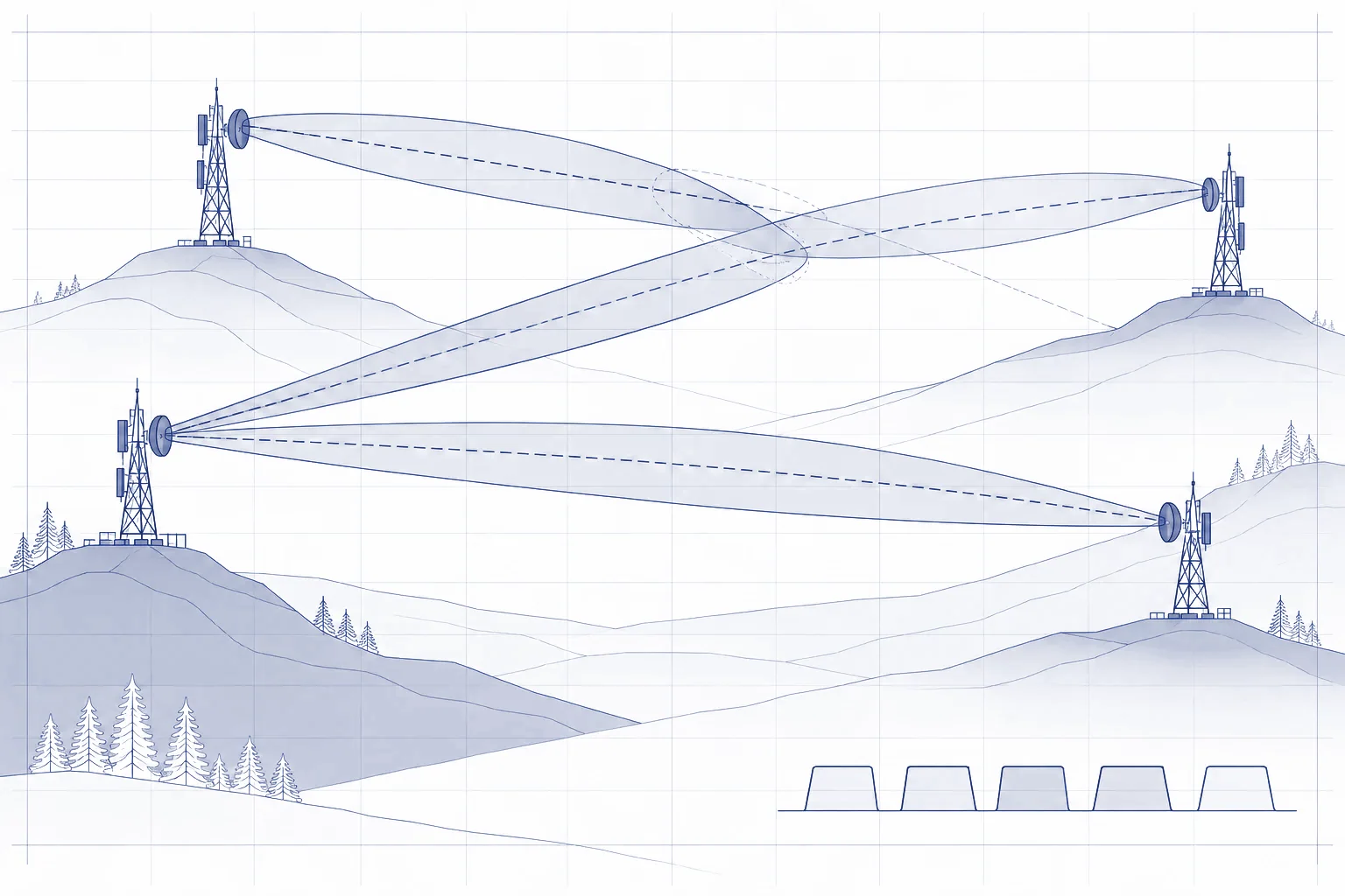
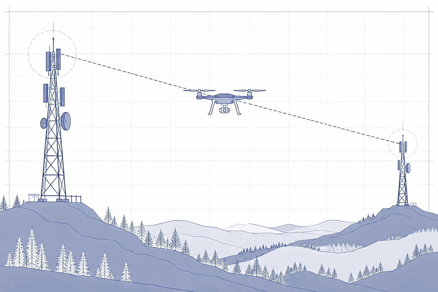
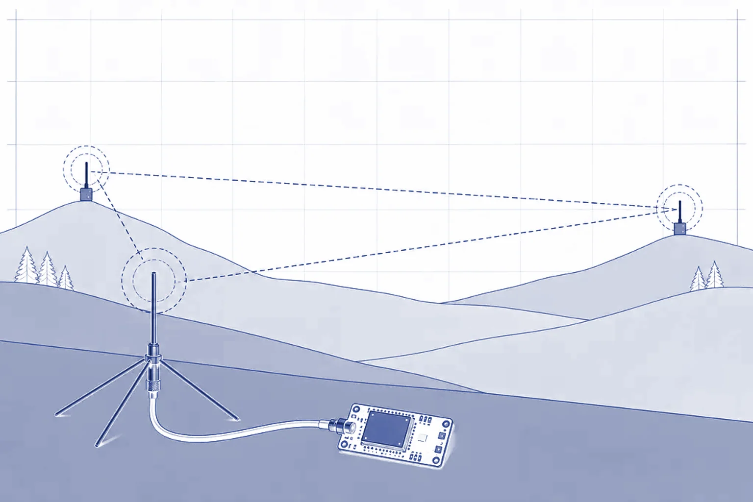
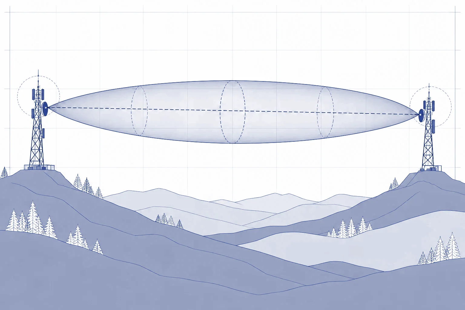
Terrain profiles, Fresnel zones and obstacles: checking potential microwave links before a site survey.
My contributionConceiving the tool, defining requirements, guiding AI-assisted development and testing it against field observations.
LiDAR (Geoportal), PDAL, TypeScript, React, MapLibre GL, Three.js, Node.js, EPSG:2180