Line-of-sight analysis with geospatial data
Terrain profiles, Fresnel zones and obstacles: checking potential microwave links before a site survey.
Problem
Checking line of sight between planned sites meant travelling to the location with at least two engineers. I wanted a way to assess a link before arranging a field survey.
Solution
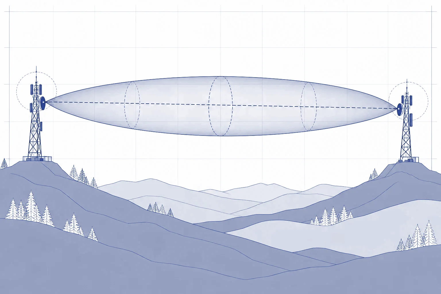
The tool downloads and processes spatial data from Geoportal. Using station coordinates and antenna heights, it builds a terrain profile, calculates Fresnel zones and identifies potential risks. The engineer decides whether a site visit is needed.
My contribution
Conceiving the tool, defining requirements, guiding AI-assisted development and testing it against field observations.
In use
The tool is used by network design engineers. Clear obstruction or a large clearance margin helped reduce site visits; ambiguous cases required further checks. The analysis supports the engineer’s judgement.
From data to field observations
I repeatedly checked the results against field observations, including drone imagery. Photographs, GPS readings, heights, azimuths and visible landmarks helped me calibrate and refine the tool.
Features developed along the way include drone-like views, distance markers and areas flagged as potentially obstructed. They help compare the analysis with field observations.
Working with AI
I used AI from the concept and feasibility assessment through design and coding to later versions. I defined requirements, directed development and tested the results. That included catching coordinates in the wrong order and reworking interface designs that made tasks harder for users.
Limits of this account
Field comparisons supported the usefulness of the analyses. I do not claim numerical accuracy or savings without documented measurements. The assessment depends on how current and complete the geospatial data is, as well as the assumed antenna heights.
Technologies
LiDAR (Geoportal), PDAL, TypeScript, React, MapLibre GL, Three.js, Node.js, EPSG:2180
Last updated: