Drones for telecommunications surveys
Introducing drone surveys to a network planning team, from the first flights to everyday use.
Problem
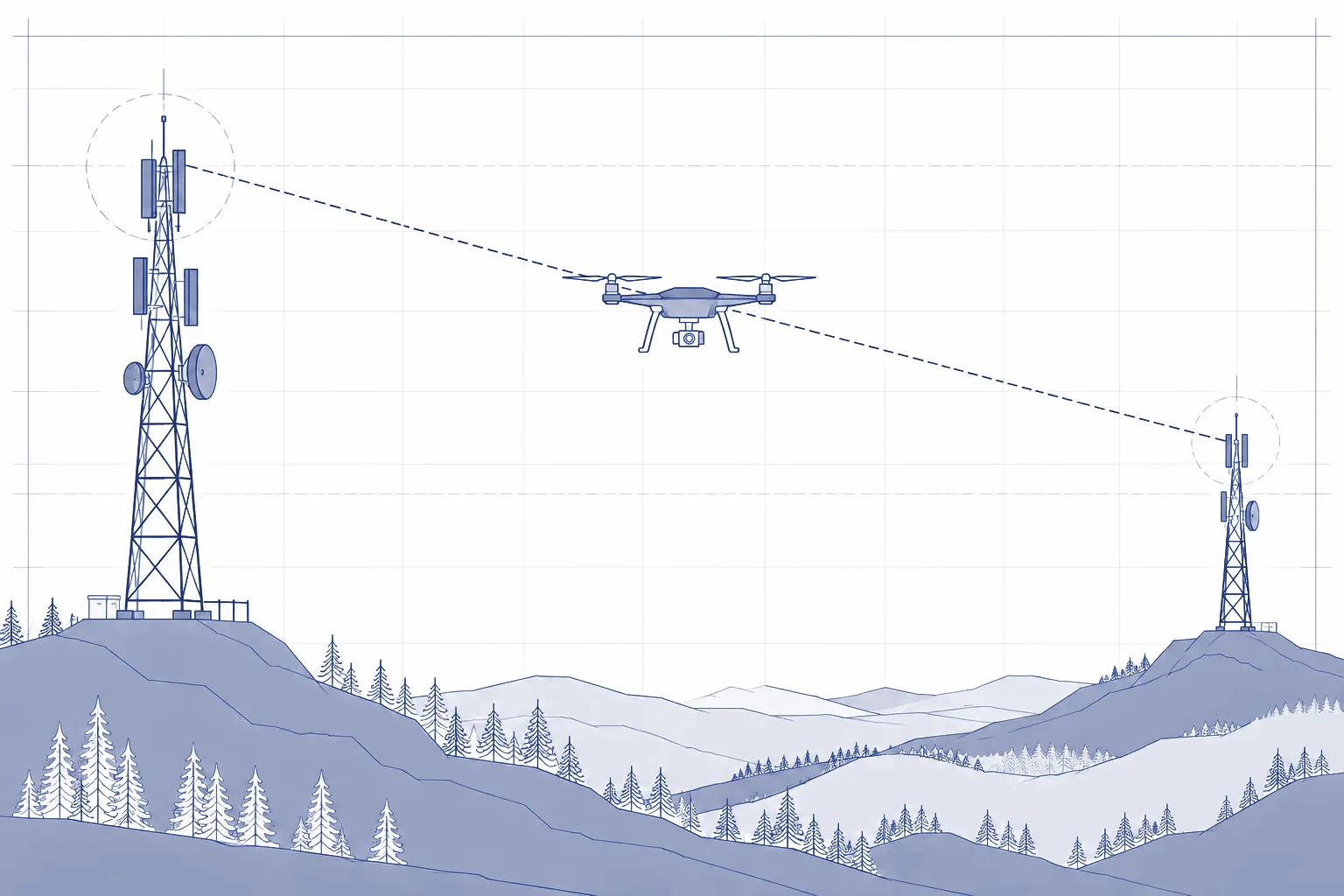
Some surveys required hiring access platforms. On sites without existing infrastructure, obtaining observations at the planned height was particularly difficult.
Solution
I proposed using drones for surveys and led their introduction. I flew the first missions myself, using the experience and data to develop the approach. Other engineers later began flying missions and analysing the results.
My contribution
Proposing the project, developing the business case, leading its rollout and flying the first missions.
From proposal to everyday use
I led the project from the initial idea through the business case, risk assessment and budget. I also handled supplier selection, purchasing, training arrangements, insurance and user support.
The hardest part was demonstrating its value before we had practical experience of using it. I personally flew the first missions. The data and imagery from those flights helped shape the rollout.
Practical value
Drones became a tool used by other engineers. Feedback from engineers and management was positive, and fewer surveys required hired access platforms.
I do not have a financial breakdown, so I do not quote savings. I have left out company details and the scale of the rollout.
Limits of use
Drone use depends on whether a flight can be carried out legally. This constraint was considered from the start. I hold A1, A2 and A3 qualifications and the standard scenario STS-01 qualification.
Connection with line-of-sight analysis
Photographs and flight data were also used to compare field observations with results from the line-of-sight analysis tool. They helped calibrate and develop it.
Last updated: